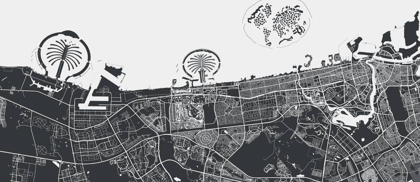
Geospatial data provides detailed geographic information through maps and satellite imagery. Such data-driven insights are crucial in Dubai for urban planning, infrastructure development and sustainable city management. It helps authorities and businesses make data-driven decisions regarding land use, transportation networks and environmental protection. The data supports efficient project execution and compliance with regulations in one of the fastest-growing cities. Dubai Municipality oversees the accumulation and distribution of geospatial data. Let’s learn more about geospatial viewer subscription in Dubai.
How to Get a Geospatial Viewer Subscription in Dubai
The process of applying for geospatial data in Dubai is effectively managed by Dubai Municipality. Here’s how to proceed with the online viewing request for geospatial data in the emirate.

Steps to Request GeoSpatial Viewer Subscription in Dubai
- You can submit your application for Geospatial Online Viewer in Dubai through the Dubai Municipality website. The process has been elaborated in a step-by-step manner below.
- Log in to the Dubai Municipality portal using your username and password or through UAE Pass.
- Provide clear reasons for your request, upload any necessary documents and submit your application.
- Await a response from Dubai Municipality via the website, which may indicate approval or rejection. You may also be asked for further amendments or information if needed.
- Once approved, your username will be sent via email.
Required Documents
- An approval letter from the relevant department director.
Fee to Request Geospatial Viewer Subscription in Dubai

The service is free of charge.
Terms and Conditions on How to Use Geospatial Viewer in Dubai
- Only governmental departments, entities and agencies are eligible to apply
- Geospatial data cannot be shared with any third party without prior permission from Dubai Municipality
FAQs
How do I apply for a GeoSpatial Viewer subscription in Dubai?
Log in to the Dubai Municipality website or use UAE Pass, specify your request details, upload the required documents and submit the application. You’ll receive feedback (approval/rejection/amendments) through the portal.
What documents are required for the GeoSpatial Viewer subscription?
You need an approval letter from the relevant department director to complete the application process.
Can I share geospatial data with others?
No, you cannot share the data with third parties without prior permission from Dubai Municipality.
This was all about how to access geospatial viewer in Dubai. Similar to services by Dubai Municipality, the Dubai Land Department (DLD) also has a state-of-the-art system. It ensures transparency, convenience and efficiency for the general public and real estate stakeholders.
All such advancements make buying real estate in Dubai an attractive option. You can pick from a range of property choices in the emirate’s lucrative property market, as per your requirements.
For more updates on tech-driven infrastructure services in the UAE, stay connected with dubizzle’s real estate blog.
