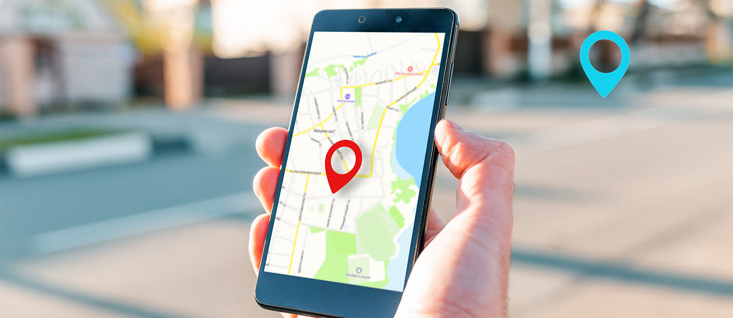
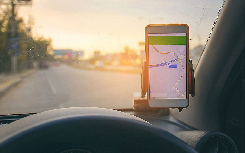
Using the Global Positioning System (GPS) to predict traffic conditions is very common nowadays. But how does GPS predict traffic? The answer is simple: through data and information collected by Google. Real-time traffic prediction GPS systems help drivers avoid delays and reach their destinations faster. Let’s learn more in this regard.
From Satellites to Streets: GPS Traffic Prediction Explained

Here’s a detailed explanation of how GPS technology forecasts traffic patterns:
Data Collection
To collect data, GPS technology relies on numerous GPS-enabled devices, such as smartphones, in-car navigation systems and other GPS trackers. These devices continuously send signals that include their location, speed and direction of travel.
Modern traffic prediction systems aggregate data from millions of users to create a comprehensive and real-time picture of traffic conditions.
Data Transmission
For real-time traffic prediction GPS, the collected data is transmitted in real-time to central servers. This transmission often occurs through cellular networks or the internet. To ensure privacy, the data is made anonymous before being analysed.
Data Analysis
The central servers aggregate data from all the GPS devices to form a large dataset representing current traffic conditions. Then, advanced algorithms analyse this data to identify patterns in vehicle movement. These patterns help in determining the flow of traffic on different roads.
Moreover, the analysis also incorporates historical traffic data to recognise recurring traffic patterns, such as rush hours or seasonal variations.
Traffic Prediction

Using the aggregated data, traffic models are created to represent the current state of traffic on various roads. These models are continuously updated with new data to maintain accuracy.
Machine learning algorithms and statistical models predict future traffic conditions by analysing current data in conjunction with historical patterns. These algorithms can anticipate traffic congestion, travel times and potential delays. Besides, here is how to stay cool during a traffic jam to avoid collisions.

Dissemination of Information
The predicted traffic patterns are sent back to GPS-enabled navigation systems in vehicles and on smartphones. This information helps drivers make informed decisions about their routes. Traffic authorities use this data to manage traffic flow, adjust traffic signal timings and plan road maintenance.
Continuous Improvement
As users follow the suggested routes and traffic conditions evolve, new data is generated and fed back into the system. This continuous loop helps improve the accuracy of traffic predictions over time. It also refines the algorithm. Case in point: machine learning models are regularly updated and refined based on new data and feedback to enhance their predictive capabilities.
Those looking for GPS trackers, can go through this list of tracking devices in the UAE.
How Does Google Map Detect Traffic
Google Maps uses colour-coded routes (green, yellow and red) to indicate traffic conditions—clear, slow-moving, or heavily congested—which are crucial for finding the fastest route. Here are the details for how Google gathers this traffic information along your route.
Google Maps relies on two main sources of data: historical data and real-time data from sensors and smartphones. Historical data provides insights into average travel times on specific roads at different times and days. Meanwhile, real-time data comes from sensors installed on roads and from smartphones reporting current vehicle speeds.
Initially, Google Maps relied on traffic sensors that were installed by private companies and government agencies. The traffic sensors made use of infrared, radar or laser technology to detect vehicle size and speed, transmitting gathered data to servers, wirelessly.
While sensor data was initially limited to highways and major roads, it provided valuable real-time updates. Over time, this data also contributed to historical records, improving predictions of future traffic volumes.
In 2009, Google introduced crowdsourcing to enhance its traffic predictions. Now, when Android phone users activate their Google Maps app with GPS enabled, their phones anonymously send data back to Google, indicating the speed at which their vehicles are moving. Google Maps aggregates this data from all users continuously, displaying it through colour-coded lines on its traffic layers.
As more drivers use the app, Google Maps’ traffic predictions improve by accurately assessing the average speed of vehicles on specific routes. This approach reduces the likelihood of mistaking routine stops, such as coffee breaks, for actual traffic congestion. Sections of roads where Google Maps lacks sufficient data to estimate traffic flow appear in grey on the traffic layer. Here is how to auto launch Google Maps in cars.
Moreover, here are some other car apps that help drivers in Dubai.
Benefits of GPS Traffic Predictions
Following are the common advantages of GPS traffic predictions.
Reduced Travel Time
By predicting traffic congestion, GPS technology helps drivers avoid delays and reach their destinations faster.
Fuel Efficiency
Avoiding traffic jams reduces fuel consumption and lowers emissions. Besides, here are some useful ways to save car fuel.
Improved Traffic Management
Traffic authorities can better manage road networks and reduce congestion by using real-time data and predictions.
User Convenience
Navigation apps can suggest optimal routes based on current traffic conditions, enhancing overall travel experience.
Enhanced Safety
Providing drivers with accurate traffic information helps them make safer driving decisions. Besides, here are some modern safety features that ensure your car’s safety.
Moreover, here are the various benefits of car GPS tracking.
FAQS
How does GPS predict traffic?
GPS predicts traffic by analysing real-time data from GPS-enabled devices like smartphones and navigation systems.
What kind of data does GPS use for traffic prediction?
GPS uses data such as location, speed and direction of travel collected from millions of devices.
How does GPS use this data to forecast traffic patterns?
GPS analyses data to identify traffic patterns, congestion levels and travel times on different routes.
Why is GPS traffic prediction important?
GPS traffic prediction helps drivers avoid traffic jams, reduce travel time and improve overall navigation efficiency.
Who uses GPS traffic prediction data besides drivers?
Traffic management authorities use it to optimise traffic flow and plan road maintenance.
That is all about how GPS predicts traffic. GPS technology uses a combination of real-time data collection, advanced algorithms and continuous feedback to forecast traffic patterns. Naturally, this makes travel more efficient and predictable. Besides, a GPS speedometer is also a satellite-based navigation system that helps identify traffic.
Whether you make use of GPS or drive without the technology, always be mindful of the lane changing rules in the UAE.
Stay tuned to dubizzle’s auto blog for more on different car technologies.
Related Posts