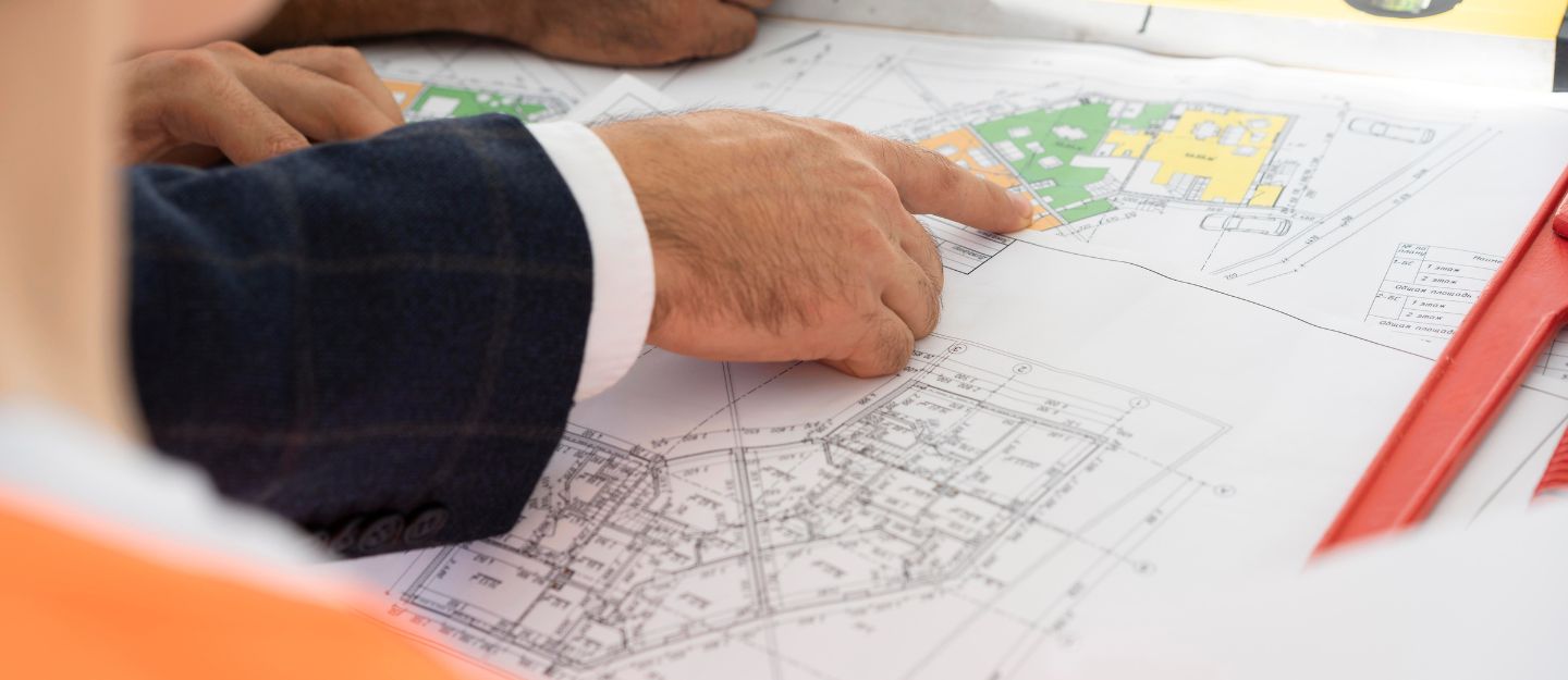
The Plan Abu Dhabi 2030 works as a conceptual framework, guiding the development of the capital city for the next quarter-century. The framework is designed in response to the growing population of the emirate, which is expected to reach around 3 to 5 million by 2030. To cater to the growing population, the Urban Infrastructure Plan provides a vision for land usage, the image of the capital city and other key aspects.
Abu Dhabi Urban Planning 2030
The Abu Dhabi Plan 2030 projects that the city’s population will reach approximately 3.1 million by 2030, creating demand for around 686,000 residential units. In response to this growth, a series of structural framework plans have been developed to support the expanding population and ensure balanced urban development.
Environmental Planning
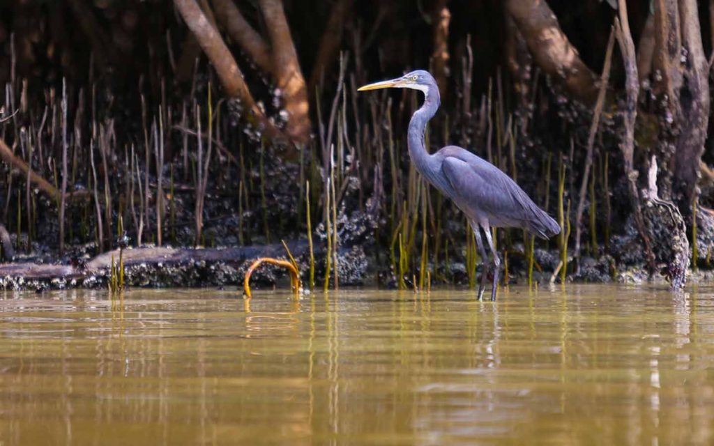
The Abu Dhabi Urban Planning 2030 framework places strong emphasis on environmental protection by creating national parks like the Mangrove National Park. To help preserve flora and fauna, the construction will be restricted within these parks. The key elements of the environmental framework include:

- Green Gradient: A transitional zone that creates a gradual shift from protected natural habitats to residential areas.
- Park Edge and City Buffer Islands: Well-planned green island eco-villages designed to act as a buffer between urban development and natural landscapes.
- Sand Belt: A defined boundary around the city that helps limit unplanned expansion and control urban sprawl.
- Desert Fingers: Protected corridors extending from the north to the south of the city, supporting wildlife movement and preserving the coastal environment.
Land Usage
The land use framework is another key component of Plan Abu Dhabi 2030, focusing on the city’s urban infrastructure and long-term development. From island communities to business districts, the framework outlines how different areas of the capital will be planned and connected.
- Concentrated Central Business District (CBD): The CBD will be developed as a single concentrated district on Al Suwwah Island. Its location also improves access to nearby areas such as Al Reem and Al Mina.
- Medium-density Island Communities: Areas such as Al Reem and Saadiyat Island are planned as medium-density residential communities with supporting retail and commercial spaces.
- Capital District: Located east of the mainland, the Capital District will focus mainly on government and knowledge-based sectors.
- Grand Mosque District: This district includes Sports City, the Exposition, the Al Bateen Airport and the Grand Mosque.
- South Hudariyat Island: Located close to the waterfront and major city areas, South Hudariyat Island is a planned Emirati neighbourhood.
- Marina Mall Area: Neighbourhoods near Marina Mall will be intensified with additional housing to support higher population density and future transit connectivity.
- Emirati Neighbourhoods: These areas are planned near high-density commercial areas to provide better access to workplaces, retail and entertainment options.
- Industrial Areas: Heavy industries will be located around the new port, while high-tech industries will be positioned near the airport. Service-based industries will be planned in areas such as Mussafah.
Transportation Network
The Plan 2030 includes a transportation framework, catering to the increasing population.
- Connected Street Grid: The plan suggests smaller connected street grids to distribute traffic evenly across the city.
- New Bridges: Ten or more new bridges will be constructed to connect the mainland with Abu Dhabi’s island developments.
- Truck Highway: A new truck highway is planned to the east of the city to support the movement of goods.
- Rail Network: Freight and passenger rail systems will be added to strengthen Abu Dhabi’s public transportation network.
- Metro: To connect different areas like the Grand Mosque District and Saadiyat Island, at least two new metro lines will be introduced.
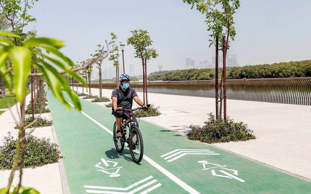
- Pedestrian-friendly Streets: Shade trees, improved streetscapes and wide pavements will be added to make streets more walkable.
Public Open Spaces
In alignment with Abu Dhabi’s environmental framework, the Plan suggests developing multiple open spaces across the city.
- Major Parks: Large parks will be developed in Abu Dhabi like the Mangrove Park.
- Community Parks: Sports fields, community parks, playgrounds and landscaped squares will be constructed across the city.
- Green Boulevards and Byways: Green boulevards and byways will be created to connect different open spaces.
- Golf Courses: Larger residential developments may include private golf courses.
FAQs
What is Plan Abu Dhabi 2030?
Plan Abu Dhabi 2030 is a long-term urban planning framework designed to guide the development of the capital city. It focuses on sustainable growth, infrastructure, transport, housing and environmental protection.
What are the main objectives of Abu Dhabi Vision 2030?
Its main objectives include creating a well-planned modern city, protecting natural areas, improving transport connectivity.
How does Plan Abu Dhabi 2030 impact real estate?
The plan supports the development of new residential communities, business districts and mixed-use areas. This can create more opportunities for residents and investors looking to buy properties in Abu Dhabi.
This concludes the overview of Plan Abu Dhabi 2030, a long-term framework for the development of the capital city. The plan reflects the government’s vision to shape Abu Dhabi into a modern, well-planned city. The vision will also result in multiple new properties, creating more opportunities for investors to buy properties in Abu Dhabi.
Stay tuned to dubizzle’s property blog for more information on long-term urban planning in the UAE.
